


DaleH
FOUNDER of Classic Parker Forum
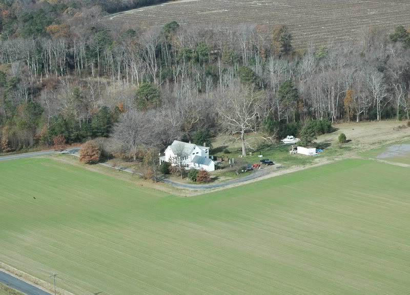
Here's a picture of my 'summer home', at least while living on the boat on its mooring on the River Parker in Newbury, MA.
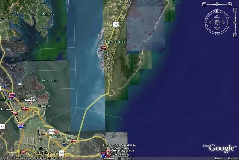
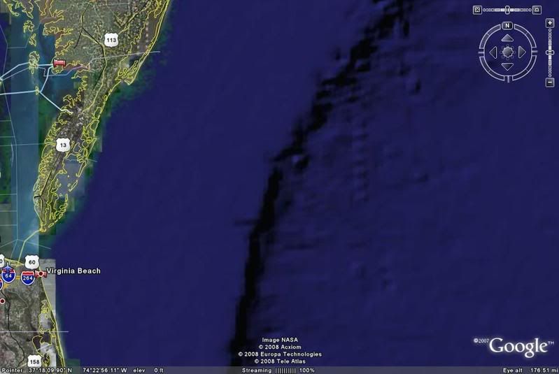
As shown below, the Parker is the large river lying left to right just above middle of the frame. If you were to draw a line from 'red' point to 'red' point, side to side and top to bottom, my mooring would be @ 1-2 o'clock. Just to the left of this area you can see the Rt 1A bridge that goes over the river.
Newburyport lies to the north and the river that travels vertically on the immediate right side of the picture is the Plum Island River, which joins the infamous Merimack River. The 'Mighty Mack' is alleged to be one of the dealiest river mouths on the East coast ... I myself saw God there on a day with a dropping 1/2-tide and heavy onshore wind.
Plum Island, the up-to-down island on the far right, is a 7+ mile long barrier beach lying north to soutch. Just outside of the bottom edge of the photo is Crane Beach, a couple thousand acrea site with BEAUTIFUL beaches that was given to the town of Ipswich - for public use - by the Crane family. He was a Philadelphian industrialist, Crane Plumbing (look on the toilets!) who built a summer home, actually a caslte, on the island.

The River Parker is part of a huge insland estuary, where the Plum Island River dumps into the Parker River and joins it, the Rowley River, Eagle Neck River, and Ispwich River (among others) in dumping out of Plum Island Sound in Ipswich, MA, into Ipswich Bay. The Parker River itself starts as freshwater and has hundreds of tributaries as it heads to the salt. Among the most notable tributaries are Beaver Brook, Little River, Mill River, Ox Pasture Brook, Penn Brook, Rowlen River, and Wheeler Brook.
I love the area for the tranquilty and relative solidarity it ofers. I can boat or kayak for miles without running offshore and then pull up for a private, quiet anchorage pretty much anywhere where the tide and boat traffic will let me.
From http://www.parker-river.org
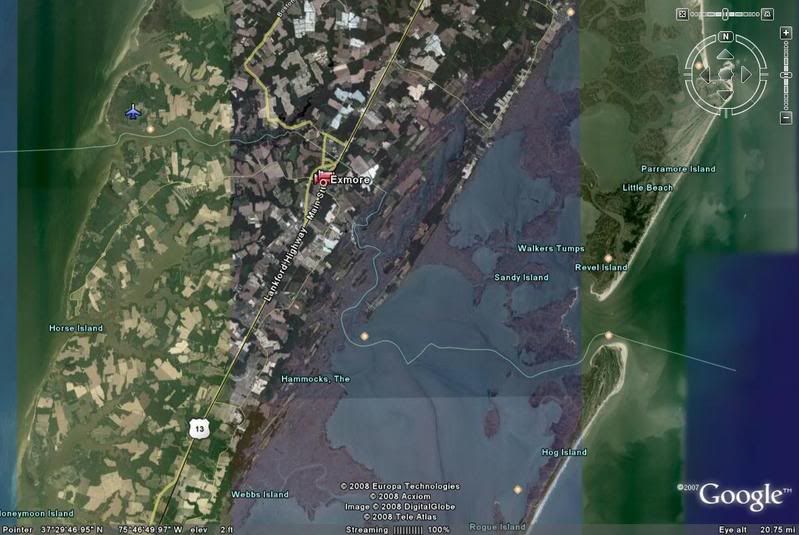
The Parker River is approximately 23 miles in length and its watershed covers approximately 82 square miles in Essex County, Massachusetts. Towns and cities located partially or wholly in the watershed include Boxford, Georgetown, Groveland, Ipswich, Newbury, Newburyport, North Andover, Rowley, and West Newbury. Major tributaries include the Little River which starts in Newburyport and flows through Newbury, and the Mill River , which flows through Rowley and joins the Parker River near Gov. Dummer Academy.
The freshwater portion of the Parker River is a favorite angling spot for trout. The tidal portions of the watershed including Plum Island Sound abound with fish and in summer the stripped bass and bluefish are much sought after. The mud flats of the sound are well known locally for their abundance of clams. There are 14 lakes, ponds, and reservoirs in the watershed covering approximately 295 acres.
As shown below, the Parker is the large river lying left to right just above middle of the frame. If you were to draw a line from 'red' point to 'red' point, side to side and top to bottom, my mooring would be @ 1-2 o'clock. Just to the left of this area you can see the Rt 1A bridge that goes over the river.
Newburyport lies to the north and the river that travels vertically on the immediate right side of the picture is the Plum Island River, which joins the infamous Merimack River. The 'Mighty Mack' is alleged to be one of the dealiest river mouths on the East coast ... I myself saw God there on a day with a dropping 1/2-tide and heavy onshore wind.
Plum Island, the up-to-down island on the far right, is a 7+ mile long barrier beach lying north to soutch. Just outside of the bottom edge of the photo is Crane Beach, a couple thousand acrea site with BEAUTIFUL beaches that was given to the town of Ipswich - for public use - by the Crane family. He was a Philadelphian industrialist, Crane Plumbing (look on the toilets!) who built a summer home, actually a caslte, on the island.
The River Parker is part of a huge insland estuary, where the Plum Island River dumps into the Parker River and joins it, the Rowley River, Eagle Neck River, and Ispwich River (among others) in dumping out of Plum Island Sound in Ipswich, MA, into Ipswich Bay. The Parker River itself starts as freshwater and has hundreds of tributaries as it heads to the salt. Among the most notable tributaries are Beaver Brook, Little River, Mill River, Ox Pasture Brook, Penn Brook, Rowlen River, and Wheeler Brook.
I love the area for the tranquilty and relative solidarity it ofers. I can boat or kayak for miles without running offshore and then pull up for a private, quiet anchorage pretty much anywhere where the tide and boat traffic will let me.
From http://www.parker-river.org
The Parker River is approximately 23 miles in length and its watershed covers approximately 82 square miles in Essex County, Massachusetts. Towns and cities located partially or wholly in the watershed include Boxford, Georgetown, Groveland, Ipswich, Newbury, Newburyport, North Andover, Rowley, and West Newbury. Major tributaries include the Little River which starts in Newburyport and flows through Newbury, and the Mill River , which flows through Rowley and joins the Parker River near Gov. Dummer Academy.
The freshwater portion of the Parker River is a favorite angling spot for trout. The tidal portions of the watershed including Plum Island Sound abound with fish and in summer the stripped bass and bluefish are much sought after. The mud flats of the sound are well known locally for their abundance of clams. There are 14 lakes, ponds, and reservoirs in the watershed covering approximately 295 acres.


 !
!